Field intelligence for ag retail
See every field you serve.
Infrag flies your growers' fields and gives your agronomists and crop advisers a current, high-resolution map of each one. An AI Advisor points to suspected problem areas. Your people check them on the ground and make the call.
$1 per acre per scan · No contract · First 500 acres free
South 1
Field 23 · 3 scans
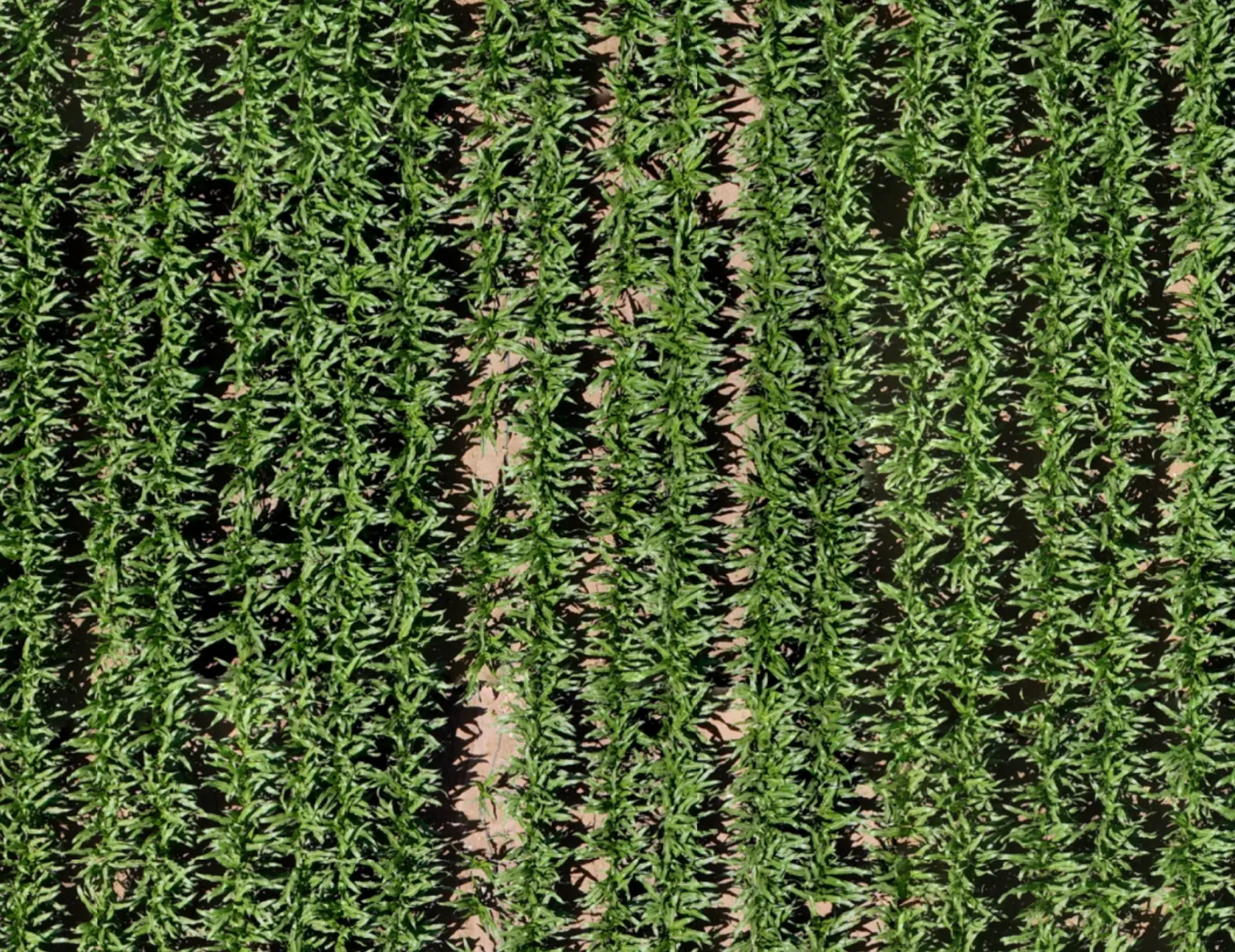
Select an area or ask me what stands out.
This looks like a broadleaf weed patch. I've outlined the suspected area on your map: about 0.07 acres.
Check this spot on the ground to confirm the weeds before deciding on treatment.
- $1 per acre
- Per scan. Minimum order: 500 acres.
- No contract
- Order a scan when a decision is coming.
- We fly and map
- No drones to buy. No pilots to hire.
- United States and Israel
- Availability confirmed for each location.
Why now
More fields than your team has hours.
Your agronomists and crop advisers sell, plan, deliver and scout. In row crops or in orchard blocks, at the busiest point of the season there are more fields than hours. Most of a field is never seen from the road.
51%
of ag retailers say it is difficult to find employees who can deliver precision services. It has been their most-cited barrier since 2021.
<10%
of the acres in retailers' own markets use drone imagery, by the retailers' estimate.
55%
say pressure on farm income holds their growers back from precision services.
Source: 2025 CropLife Purdue University Precision Dealer Survey (opens in a new tab). 93 ag retailers serving field crops, most in the Midwest. Percentages are the share who agree or strongly agree; drone-imagery coverage is the retailers' own estimate.
The platform
One current picture of every field.
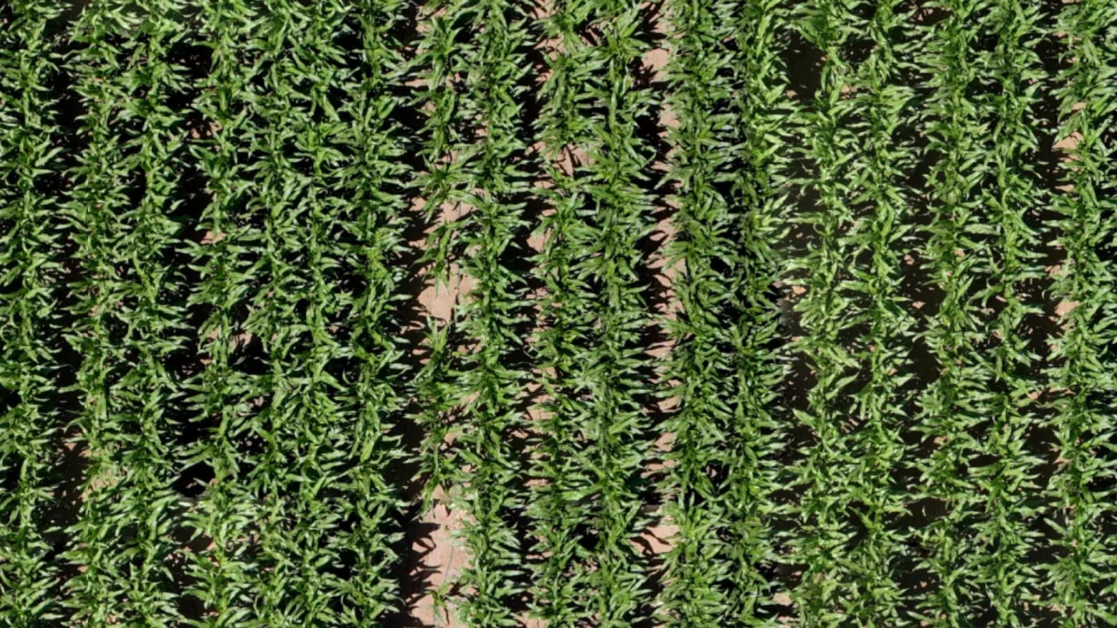
A complete drone map of each field or orchard block your growers enroll, the tools to work on it, and the scan history behind it.
Field map
AI Advisor
South 1
Field 23 · 3 scans
Select an area or ask me what stands out.
This looks like a broadleaf weed patch. I've outlined the suspected area on your map: about 0.07 acres.
Check this spot on the ground to confirm the weeds before deciding on treatment.
Scan history
South 1
Field 23
Interface redrawn for illustration.
How it works with your team
From a scan to a field visit with a reason.
Infrag shows suspected findings. It does not diagnose crop problems or recommend treatments.
AI Advisor
Ask the field a question.
The Advisor can see the map. It can zoom in, look at crop detail and search the rest of the field for areas like the one you are asking about.
Ask about what you are looking at
South 1
Field 23 · 3 scans
Select an area or ask me what stands out.
This looks like a broadleaf weed patch. I've outlined the suspected area on your map: about 0.07 acres.
Check this spot on the ground to confirm the weeds before deciding on treatment.
Let the Advisor look around
South 1
Field 23 · 3 scans
Select an area or ask me what stands out.
This looks like a broadleaf weed patch. I've outlined the suspected area on your map: about 0.07 acres.
Check this spot on the ground to confirm the weeds before deciding on treatment.
Go from one patch to the whole field
South 1
Field 23 · 3 scans
Select an area or ask me what stands out.
This looks like a broadleaf weed patch. I've outlined the suspected area on your map: about 0.07 acres.
Check this spot on the ground to confirm the weeds before deciding on treatment.
A 30-minute call with the Infrag team
See it on fields you know.
Case study · Israel
1,140 acres. 23 places to check. 17 confirmed.
Our case study comes from Israel. The job is the same on any field: see all of it, find the areas that need a person, and go there first.
“It never told me what a patch was. It told me where to walk. Seventeen of the twenty-three places were worth the walk, and I would rather check six for nothing than miss one.”
1,140 acres
mapped over five scans, December 2025 to April 2026
Coverage
“With two scans side by side, I knew which rows to walk first.”
17 of 23
suspected areas confirmed when checked on the ground
Ground truth
“From above it was one straight line of tired trees, and a straight line in an orchard is usually a pipe.”
4
paid scans ordered after the free first one
Repeat orders
“Now we look at the whole field first and walk to the marked places.”
The grower's side
A service they get from you.
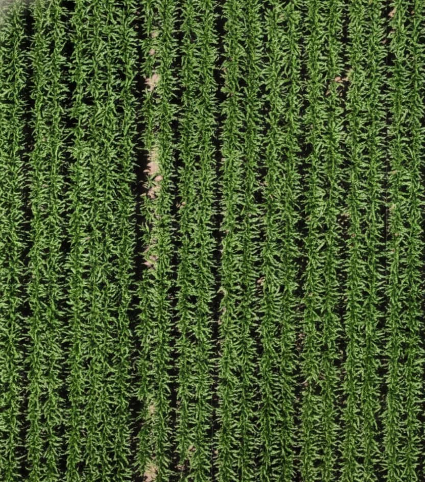
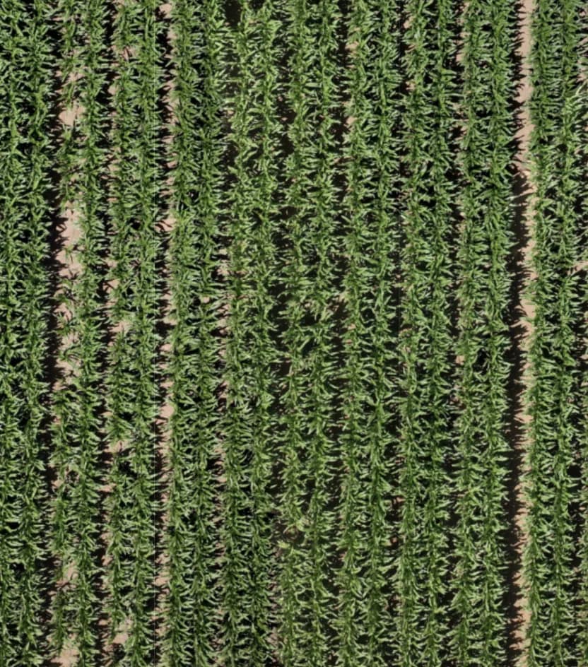
Sit down with a grower and open their field: the areas you marked, and a before-and-after view of the last treatment. It is your advice they are looking at, with a picture to back it.
- Something to show at the kitchen table, not just say.
- A record of the season, field by field.
- Start with the growers you least want to lose.
Pricing
$1 an acre. Per scan. That's the price list.
No subscription and no season commitment. Scan the fields that have a decision coming, such as a replant call, weed escapes, a fungicide pass, an irrigation change in an orchard or storm damage, and skip the ones that don't.
Your acres. Your numbers.
- Infrag price per acre, per scan
- $1
- Estimate for one scan
Start small
Try it on 500 acres. On us.
Field demos are scheduled where there is a crop in the ground. Availability and scheduling are confirmed for each location.
Where the line is
Suspected first. Confirmed on the ground.
Your advisers put their name on every recommendation. Infrag is built around that.
Suspected, not diagnosed
The map shows visible differences in the crop, and the AI Advisor outlines suspected problem areas. A suspicion with a location is all it claims.
Your adviser makes the call
A person checks each marked area on the ground. The recommendation is your agronomist's or crop adviser's, and it carries their name.
We fly. You choose the fields.
Infrag carries out the scan over the fields you send us. Availability and scheduling are confirmed for each location.
Before you book
Questions retailers ask first.
No. The map shows visible differences in the crop, and the AI Advisor helps inspect the imagery and locate suspected issues. Your agronomist or crop adviser confirms the cause on the ground and decides the response.
No. Infrag carries out the scan and provides the map and the tools to work on it.
$1 per acre per scan, with a 500-acre minimum order. There is no subscription and no contract. Your first 500 acres are free.
See pricingFrom row crops to orchards. Tell us what your growers have in the ground and where, and we confirm what we can scan and when.
In the United States and Israel. Send us field locations and we confirm availability and scheduling for each one.
You are not alone. In the CropLife–Purdue dealer survey, 36% of retailers reporting on their drone-imagery service said it was not breaking even. Infrag is ordered one scan at a time, when a decision is coming, and what your team takes from it is a short list of located areas to check, not a color map to interpret.
Source: 2025 CropLife Purdue University Precision Dealer Survey (opens in a new tab). 93 ag retailers serving field crops; profitability question asked in 2024 and reprinted in the 2025 report.
One case study, from fields in Israel. Read it, then judge the service on your own growers' fields: your first 500 acres are free.
Read the case studyWith a 30-minute call. After that comes a field demo on two or three of your growers' fields, then a per-acre look at the numbers, then a pilot at one or two locations if it adds up. You can stop at any step.
See what your advisers could see.
Thirty minutes with the Infrag team. Bring a map of your territory, and leave with a plan for a first scan.
$1 per acre per scan · No contract · First 500 acres free