About Infrag
We bring the picture.
Infrag is a drone field-scouting service with an AI Advisor that works on a detailed map of each field. We fly and map. Your agronomists and crop advisers decide what to do about what they see.
Fields in the United States and Israel
What we are building
The operating picture for every field you serve.
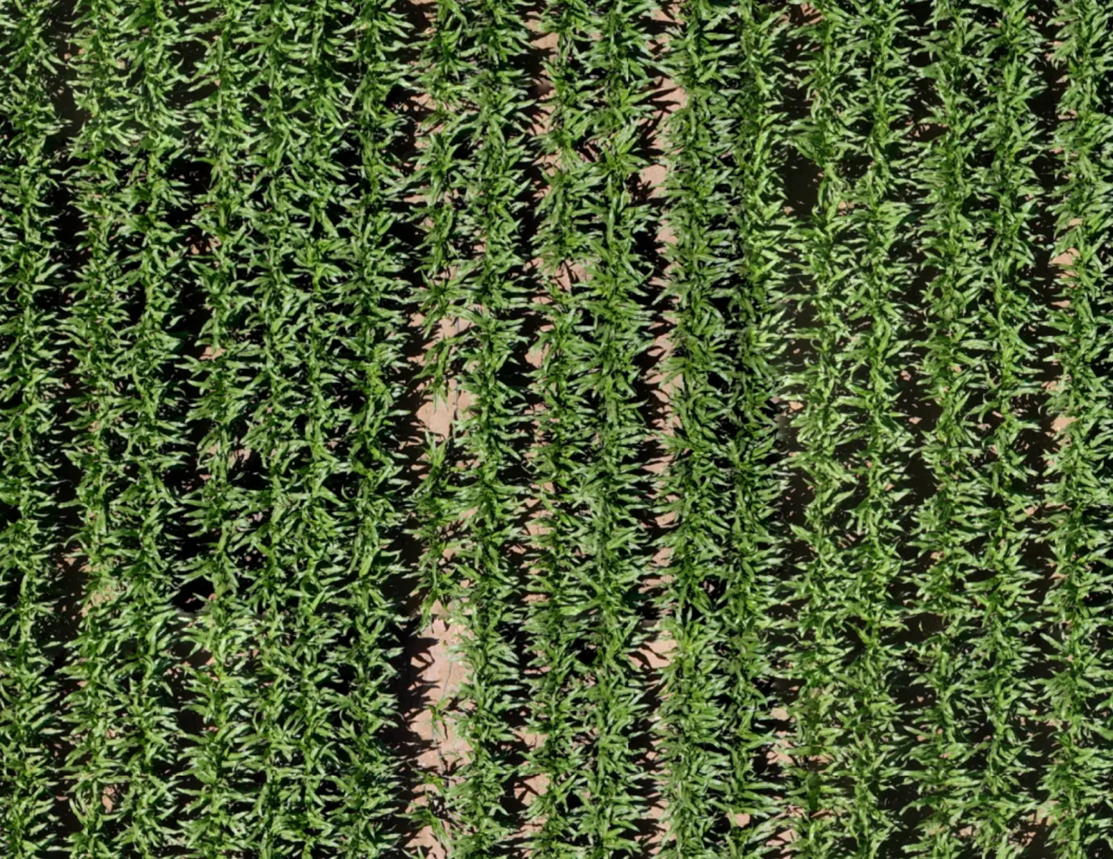
A retailer's territory is hundreds of fields that nobody can see all at once. We are building the picture of it: every field, every scan and every suspected finding, turned into decisions by your own people. Today that is one working map per field, its scans by date behind it, and an AI Advisor your team can question.
South 1
Field 23
What we hold to
Three rules we work by.
Sell where to look, not imagery
A picture of a field is worth something when it changes where a person walks. That is the product.
Suspected is an honest word
The map and the AI Advisor point at areas that look off. Until someone has stood there, that is all anyone knows, and we say so.
The adviser recommends
The recommendation belongs to the agronomist, crop adviser or PCA who checked the spot. It carries their name, so it has to be their call.
How we work
We fly it. You don't staff it.
Infrag carries out the scan, stitches the map and provides the tools. There is nothing for a retailer to buy, install or integrate, and no contract: a scan is ordered when a decision is coming.
Where we work
United States and Israel.
Field scouting for growers in the United States and Israel, from row crops to orchards. Tell us where your growers are, and we confirm availability for each location.
Infrag is based in Tel Aviv, Israel.
Where we are
Starting small, with retailers who want a say.
Our case study comes from Israel. In the United States we are starting with a small group of independent retailers and co-ops: a field demo on their own growers' fields, with the first 500 acres free. If that is the stage you like to meet a supplier at, we should talk.
Write to us
For anything that does not need a meeting.
Talk to the Infrag team.
Thirty minutes. Bring a map of your territory.