AI Advisor
Ask the field a question.
An AI Advisor for your agronomy team. It can see the field map, inspect a patch you point to, and search the rest of the field for areas that look similar.
Included with every scan · Suspected findings, checked on the ground
South 1
Field 23 · 3 scans
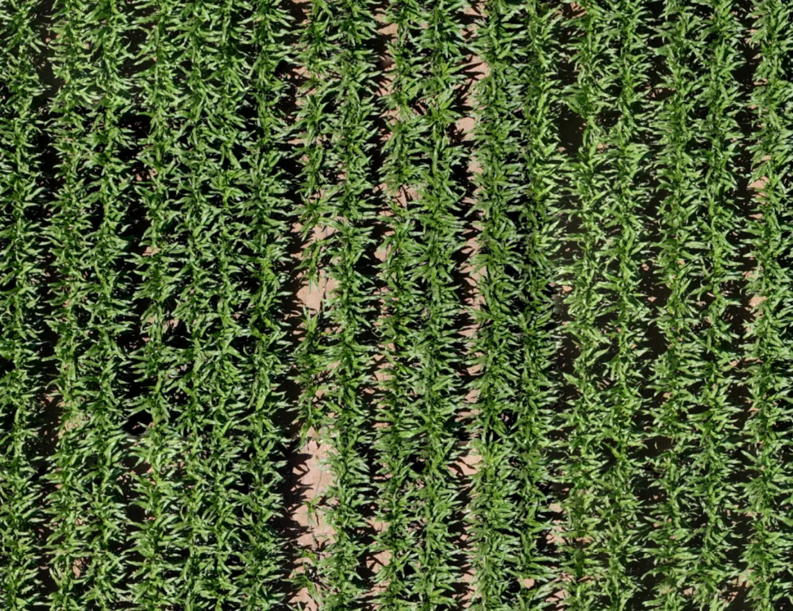
Select an area or ask me what stands out.
This looks like a broadleaf weed patch. I've outlined the suspected area on your map: about 0.07 acres.
Check this spot on the ground to confirm the weeds before deciding on treatment.
What it can do
It works on the map, with you.
The Advisor answers from the imagery of the field you have open: the area on screen, the rest of the map, and the places it marks.
Talk naturally about the field
Ask "What's happening here?" with the area you are looking at as context.
Let the Advisor explore the map
It can scan the field, zoom in and out, and inspect crop detail as part of the conversation.
Go from one patch to a wider search
Ask it to look for similar suspected issues elsewhere in the field and mark their locations on the map.
See it work
One question. Four places to check.
A short conversation about one field: one patch questioned, one suspected area outlined, then the rest of the field searched for more like it.
Ask about what you are looking at
Ask "What's happening in this patch?" with the area on screen as context.
South 1
Field 23 · 3 scans
Select an area or ask me what stands out.
This looks like a broadleaf weed patch. I've outlined the suspected area on your map: about 0.07 acres.
Check this spot on the ground to confirm the weeds before deciding on treatment.
Let the Advisor look around
It can scan the field, zoom in and out, and inspect crop detail as part of the conversation.
South 1
Field 23 · 3 scans
Select an area or ask me what stands out.
This looks like a broadleaf weed patch. I've outlined the suspected area on your map: about 0.07 acres.
Check this spot on the ground to confirm the weeds before deciding on treatment.
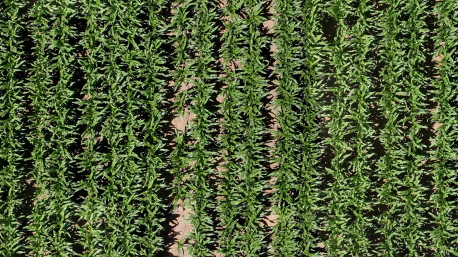
- Your adviser: What stands out in the north half?
- Infrag AI Advisor: I went over the north half at closer zoom. Most of the stand looks even. Two areas near the east edge look thinner than the crop around them. I've marked both as suspected thin stand for a ground check.
Go from one patch to the whole field
Ask it to look for similar suspected areas elsewhere in the field. Each one is outlined on the map with its location.
South 1
Field 23 · 3 scans
Select an area or ask me what stands out.
This looks like a broadleaf weed patch. I've outlined the suspected area on your map: about 0.07 acres.
Check this spot on the ground to confirm the weeds before deciding on treatment.
A 30-minute call with the Infrag team
See it on fields you know.
In practice
Before the truck leaves the yard.
How an adviser uses it on a morning when there are more fields than hours.
The line
It points. Your adviser decides.
The Advisor reports what an area looks like and where it is. A suspicion with a location is the most it claims. What it is, and what to do about it, is decided by a person standing in the field.
Infrag does
- Fly the field and build one detailed map of all of it
- Show visible differences in the crop
- Let the AI Advisor inspect the imagery and locate suspected issues
- Give the location of every marked spot
- Keep scans by date, and compare any two
Infrag does not
- Diagnose a disease, a pest or a deficiency
- Recommend a product or a rate
- Replace a ground check
- Replace your agronomist, crop adviser or PCA
- Sign the recommendation
Suspected findings are confirmed on the ground, by your people. The recommendation carries their name, not ours.
For your agronomy team
An AI Advisor for your advisers.
It reads the map so your agronomists, crop advisers and PCAs can spend their field time on the areas that need a person. The expertise and the recommendation stay with them. It does the looking. They do the agronomy.
Questions
What agronomists ask about it.
No. The map shows visible differences in the crop, and the AI Advisor helps inspect the imagery and locate suspected issues. Your agronomist or crop adviser confirms the cause on the ground and decides the response.
It can see the field map. Ask about an area and it inspects the imagery, zooms in and out, and can look for similar suspected areas elsewhere in the field and mark their locations. What it gives you is a suspicion with a location, not a diagnosis and not a treatment.
No. Infrag shows suspected areas and where they are. The recommendation is your adviser's, made after a ground check, and it carries their name.
No. It tells your team where to walk first. A person still checks every suspected area on the ground.
The AI Advisor is a conversation. An adviser asks what is happening in an area, and the Advisor inspects the imagery and marks suspected areas on the map. The map tools are the ones the names suggest: zoom, measure, mark and compare.
See it on a field you know.
A 30-minute call: a real field map, the AI Advisor at work on it, and how a free 500-acre trial would run on your growers' fields.